
Equipment
-
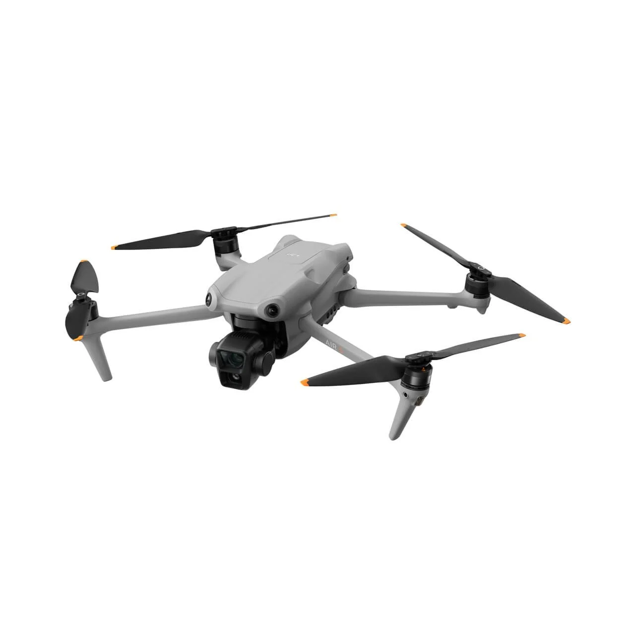
DJI Air 3
Our go-to for creative visual production. Compact, versatile, and built for stunning imagery in any condition.
Dual-camera system with 1-inch CMOS sensor
Forward-facing LiDAR for advanced obstacle sensing
14-stop dynamic range for complex lighting
Used for: Aerial photography, videography, real estate, and commercial content.
-
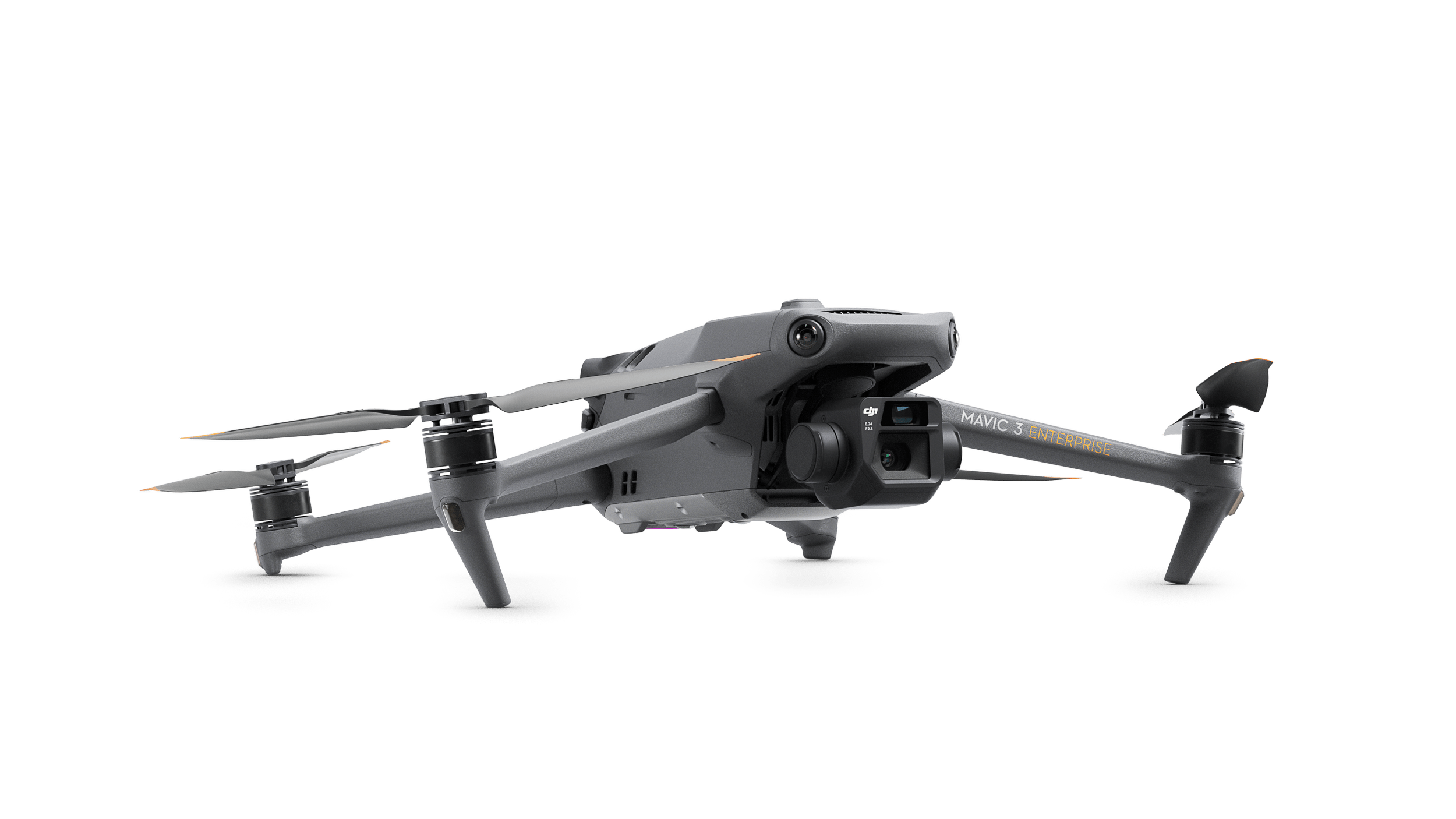
Mavic 3 Enterprise RTK
Our precision mapping and surveying drone. Centimeter-level accuracy for data-grade deliverables.
RTK module for centimeter-level positioning
Mechanical shutter for distortion-free mapping
4/3 CMOS sensor for exceptional image quality
Used for: Mapping, photogrammetry, land surveying, and roof inspections.
-
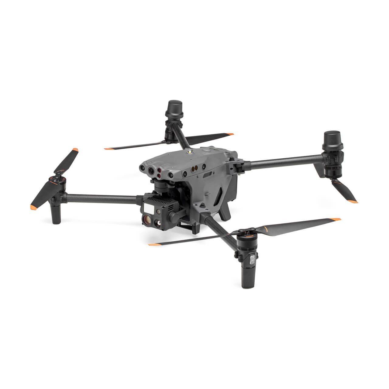
Matrice 30T
Our heavy-duty inspection platform. Built for demanding environments where precision is non-negotiable.
Integrated thermal + zoom + wide camera system
IP55 weather resistance for all-condition operations
16x optical zoom for detailed remote assessment
Used for: Thermal inspections, powerline surveys, and solar farm analysis.
-
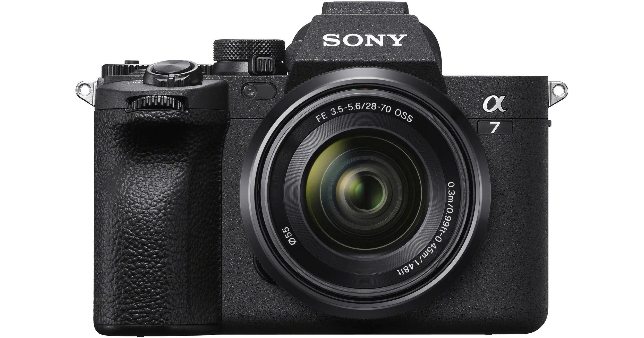
Sony Alpha 7 IV
Our ground-level visual powerhouse. Professional stills and cinematic video for premium productions.
33MP full-frame sensor with real-time autofocus
4K 10-bit video for cinematic-grade content
Seamless photo and video versatility
Used for: Real estate photography, commercial video, and creative productions.
-
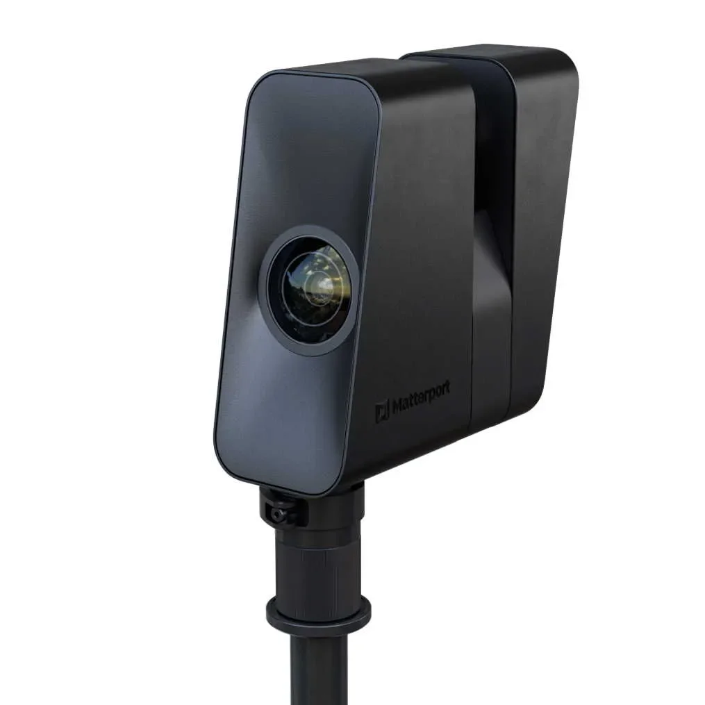
Matterport Pro 3
Our 3D scanning system. The fastest and most accurate way to digitize any space.
LiDAR precision that performs in direct sunlight
Rapid full-scan capture in seconds
High-resolution optics for sharp, detailed walkthroughs
Used for: 3D virtual tours, real estate listings, facility documentation, and remote inspections.